|
| Buttes of the Cross - So named because they looked to the members of the Powell expedition like a cross lying down. When they passed it a day or so later they discovered that it was in fact two separate buttes. |
Today I finally felt like I was really enjoying this trip. It was hard, yesterday, thinking that maybe I was never going to really appreciate this trip I've been looking forward to; at least not until it was over. The odd thing is, I had what should have been a really good day yesterday. I hiked through the abandoned meander and saw the arch Mike mentioned. I missed some really good petroglyphs but found some (rather less interesting) others as well as a slot canyon that had stagnant water in the bottom.
 |
| Cryptic little glyphs. I meant to show these to Mike the shuttle driver and ask about them but never got around to it. |
 |
| The petroglyphs that I missed were on the sandstone tower pictured here; I couldn't get close because I never found the trail that led to it. |
|
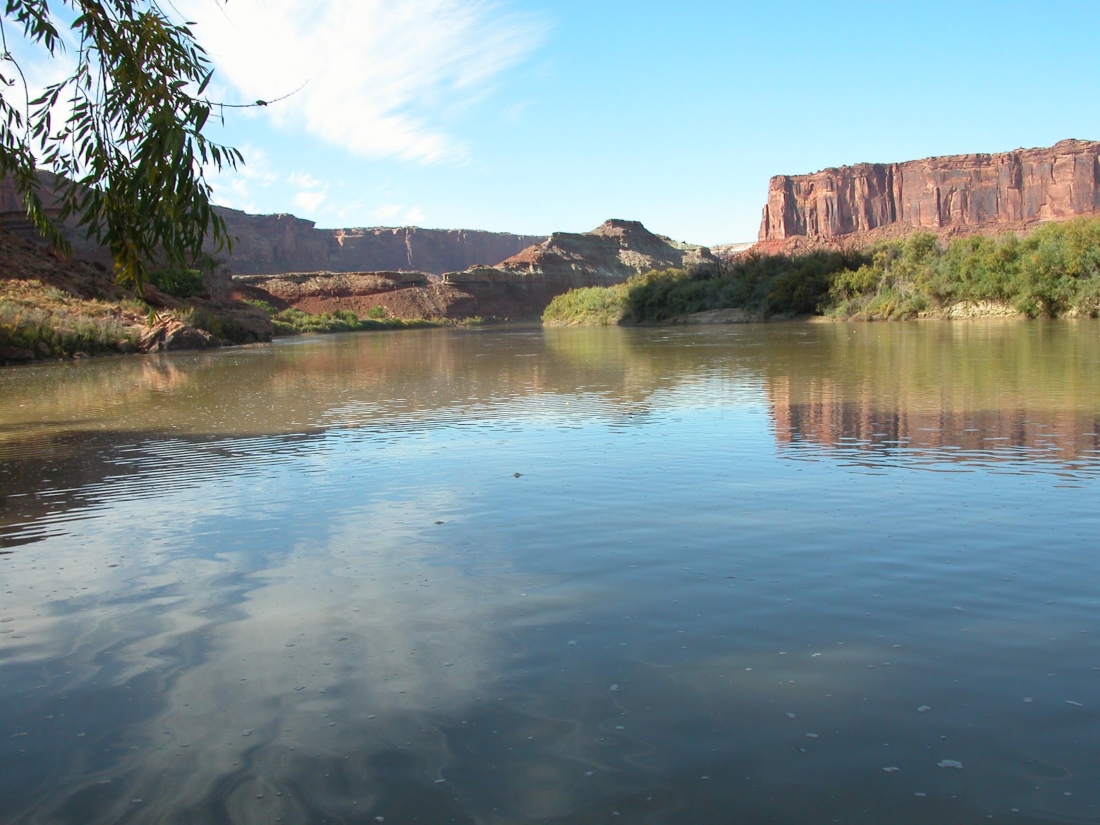
I paddled 14 miles before setting up camp on a sand bar with Cathy and Rod, right across from the Sphinx. I also had the best night's sleep I've ever gotten in a tent and saw a few shooting stars. Rod built another fire last night for the three of us.
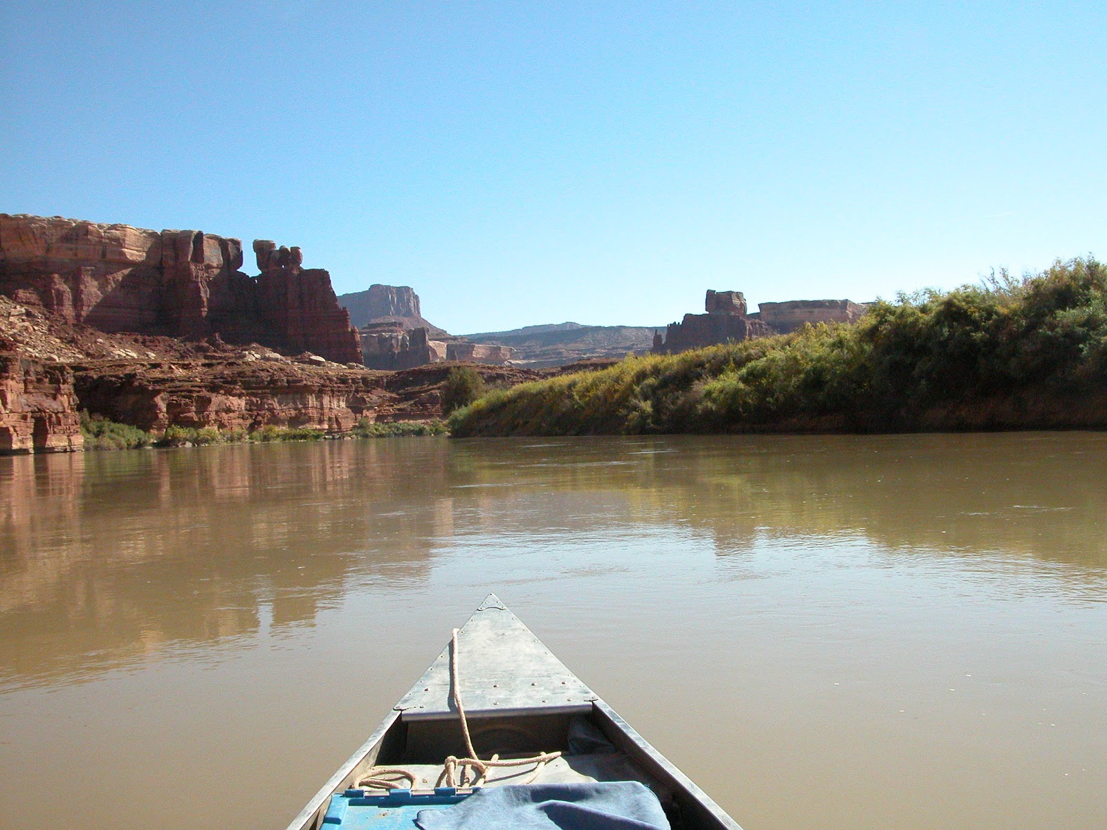
I guess my heart just wasn't in it until today. And today actually was a great day. Labyrinth Canyon (broader, more open, sort of tier-cake-shaped) turned into Stillwater Canyon (narrower, V-shaped).
 |
| How did anyone even get up there? This cliff dwelling was a stone's throw from our campsite. |
 |
| You can barely see where the dwelling is tucked into the cliffside here. |
Around lunchtime, I joined Jim and Terri at Turk's Head (though we couldn't figure out how it might have gotten its name) for a hike to find some cliff dwelling ruins. I saw a cairn on a ledge and climbed up to see what might be up there. My observance was rewarded when I saw a small dwelling in a nook above me.
 |
| Turk's Head |
After climbing up to check it out and then back down, I ran into T&J again and they told me to follow the trail a little further to find some more ruins. Sure enough, there were three in close proximity so I climbed up to check them out as well. All were so tiny and shallow I had to wonder if they were really used as homes. A single person couldn't stretch out to sleep on the floors of most. [I later learned that these probably served as grain storage rather than homes.] Greg and Stephanie and Rod and Cathy both showed up as we were on our way back out. The latter couples, though they launched the same day, have an extra day before their scheduled pick-up.


T&J told me they planned to get as far as mile ten today, which is about what I was aiming for, and we ended up approaching Jasper Canyon at about the same time. We're camped out on a sand bar in the middle of the river just across from Jasper because the mouth offered no real promise for campsites. There are ruins in the canyon and we'd paddled over 17 miles today so none of use wanted to go any further. The sand bar is nice, though, and we had another fire after dinner. Tomorrow I may just skip looking for the ruins and try to get out as early as possible. Though it's only about 9.5 miles to the confluence where the Green River meets up with the Colorado on its way to Lake Powell and the Grand Canyon, I want to have plenty of time to hike into Shot Canyon and then be done with paddling by the end of the day. From here it's about 13 miles to Spanish Bottom, where there's a great hike to The Dollhouse formations and Beehive Arch. I'd like to fit that one in on the last day before the jetboat arrives to pick us up.