Thursday, May 3, 2012

10/26 Day 12


Somehow my supposed "in-town break" turned into hours of slickrock playtime in Arches.  Brianne had suggested doing either the Devil's Garden trail, and all-dayish hike that visits many of the park's most famous features and formations (including Landscape Arch, which is crumbling), or the Fiery Furnace, which is a permit-only section that lacks much in the way of designated trails but instead offers endless opportunities for exploration.  Free-form poking around appealed to me quite a bit more since I've been following designated routes for the better part of the past week and a half.  We met up at Eklektic Cafe, after which Brianne's boyfriend Jay met up with us.  We were able to get a permit but had to watch a video about using the FF and cryptobiotic soil crust.  The desert is very delicate!  We could walk on bare rock and sandy washes but any other surface was strictly verboten.  Crypto holds soil in place, retains water for plants and provides safe and nurturing space for seedlings.  One step can destroy decades of growth and recovery can take even longer than the initial growth.  It consists of cyanobacteria, algae, lichen, and fungus, held together by microscopic filaments. 

Brianne finds a cramped crevice
I don't think Jay (behind me) made it through this one.
Anyway, I sort of surprised myself several times by scrambling up cracks in the rock fins to heights that would have caused me to freeze in terror if they'd been on an exposed rock face, and squeezing through tight spots where I wasn't able to turn my head for several moments.  The landscape was just too interesting and I was having too much fun to chicken out of certain situations.  I think I like the idea of climbing and heights aren't really a problem for me, but rock faces are just too open.  Knowing I can reach back and chimney up a tight spot, being able to rely on my body as well as my fingers and feet for support is a lot more comforting, and, well, fun. 


I'm glad I went with people who know their way around the place because I'm pretty sure I would have gotten myself hopelessly lost in my excitement.  B&J also knew where some really cool arches and other formations were located and who knows if I would have found them on my own.

Skull Arch


Brianne and Jay make a cute couple.  This is Jay's favorite arch in the Furnace.
I hated to leave but I was starting to get pretty hungry and knew I wouldn't be much of a climber with low blood sugar.  However, on the way out of the parking lot, Jay threw out a suggestion that we hike to Delicate Arch as a joke.  But when Brianne started speculating about whether we would reach it by sunset, I suddenly wanted to give it a try.  So try we did, hiking very fast over a pretty steady climb, and we managed to get there with plenty of time to spare.  There were a lot of Japanese people milling around the base, taking photos and striking goofy poses, but this didn't take away from the grandeur of Utah's most famous arch.  I did manage to get a few shots without anyone in the frame though I had to wait quite a while exposed to the cold wind. 

Anyone who dares to do this at sunset in the summer gets yelled at by the many hundreds of people gathered there.  There are actually YouTube videos of this happening.  The sun's position makes for a much better sunset in the summer, too.
Geez, finally
 We hiked back to the car in the fading light and the dark and Jay pointed out Jupiter near the horizon behind our left shoulders.  We stopped to see "the only petroglyphs the park will admit to having," (Jay's words) done by Ute people no earlier than 1650.  On the drive back to get the other cars from the cafe, we discussed some other trips we may try to fit in this week.

The Arch and the amphitheater

Sunday, April 22, 2012

10/25 Day 11


Since I cleaned out my boat last night, I was able to get up early, load up my gear, and paddle about a mile to Lower Spanish Bottom for a hike to the Dollhouse before the jetboat was scheduled to arrive.  And just like my other hikes along the river, I'm so glad I was able to fit it in, having logged almost 17 miles to get there the day before.  The trail is very steep and rocky and climbs to the rim of the canyon.  Beautiful vistas of the river below and formations above the east rim in the Needles district could be seen at various points along the way, but the real treat was at the top.

Rainclouds were rolling in from the west, creating this interesting lighting effect.


The path not taken (it leads to other formations and a few granary ruins).
Towering striated rock spires had been visible from Upper Spanish Bottom but seeing them up close was fairly staggering at first.  The trail led right up to them and I wanted to see what was beyond what I could see from below so I pressed on with the assumption that I'd be able to get back in time.  As I crested a dip in the ridge, I could see a broad plain below with the trail continuing toward another dollhouse formation (I think there were 4 in all).  This was at least as beautiful as the one I was standing in and I'd really like to go explore them at a later time as well.

There are no words for how badly I wanted (and still want) to follow that trail.

Needles in the distance
On the jetboat, I met a pair of woman who had been descending the trail while I was on my way up.  They had used the jetboat shuttle as their access to the Maze and had spent all week backpacking there.  They'd also overnighted in Shot Canyon, so this is something to keep in mind for a future trip.  The jetboat ride took us through the Colorado River section of Canyonlands, which is just as stunningly beautiful as the section I'd just completed.  It was nice to get a bit of a preview of what I might like to do another time.  The rest of the day was pretty uneventful.  I was exhausted and happy to have a shower, clean laundry, and a bed by the end of the day.  I did hear from Brianne, who I met through the backpacking training I attended for work a few months ago, and we're going to meet up for a hike tomorrow.  I also had diner with a plein air painter from Washington named Hester (also an erstwhile railroad worker and attorney) who asked if I would join her for a hike to a little-known hike in Canyonlands to the "false kiva" ruins.

Monday, April 9, 2012

10/24 Day 10


Right now I think I'd be perfectly happy if I never saw sand again.  I'm camped at Upper Spanish Bottom with a group of 13 people from WA, all the employers, employees, family members, etc. of a kayak outfitters/guide company.  They've all been very friendly and helpful.  This morning I got out of camp an hour earlier than usual but spent probably two hours with T&J looking for the ruins in Jasper Canyon.  The ruins themselves weren't really worth looking for, but way in the back of the canyon, dripping water from above had created some strange and amazing erosion patterns in the rock below.


We had a really hard time finding this ruin but Jim was the one who eventually spotted the trail that led to it and the ruin itself.
Self-portrait
Several miles downriver I stopped at the mouth of Water and Shot Canyons to eat lunch and debated whether to hike in.  I'm so glad I did, because it was absolutely gorgeous.  A spring created several clear pools and made for a more green landscape than in some of the other side canyons.  Shot Canyon leads into the Maze, which is an incredible place to see and hike, but it's very difficult to get into.  Some day I'd like to do this trip again and spend a whole day hiking into the Maze from Shot and maybe spend a night there too.  Or I could rent a Jeep and get in by land.  The Chevy hatchback I've got now just won't cut it.  On this hike, I saw a collared lizard who seemed happy to pose while I took his picture.  He even waited until I said, "thank you, beautiful," and turned the camera off before taking off running.  I also ran into Asher, a New Zealander who is part of this group of 13.


The canyon splits into two; Water on the left, Shot on the right.

As I was leaving Shot, I noticed that the wind had picked up quite a bit but I was determined to get to Spanish Bottom before sundown.  I still had about six miles to go, and they were pretty brutal.  I expected the wind to be less intense below the confluence but I think it turned out to be a little worse.  I was pretty exhausted, a little dehydrated, and very hungry by the time I arrived because stopping for even a moment meant my boat turning sideways in the river and allowing fatigue to set in.

Windblown, exhausted, and famished but still good-lookin' and happy.  I'm still lusting after that Mistral kevlar canoe next to mine.
The paddlers from WA welcomed me to share the site and seemed pretty impressed at my taking on both the solo paddle and the larger month-long trip.  After some frustration at having sand blown into my tent in spite of having the fly staked out with some MSR blizzard stakes lent by one of the families, I moved to a slightly sloped area that was out of the wind and settled in for the night.

10/22 & 10/23 Days 8 & 9

Buttes of the Cross - So named because they looked to the members of the Powell expedition like a cross lying down.  When they passed it a day or so later they discovered that it was in fact two separate buttes.
Today I finally felt like I was really enjoying this trip.  It was hard, yesterday, thinking that maybe I was never going to really appreciate this trip I've been looking forward to; at least not until it was over.  The odd thing is, I had what should have been a really good day yesterday.  I hiked through the abandoned meander and saw the arch Mike mentioned.  I missed some really good petroglyphs but found some (rather less interesting) others as well as a slot canyon that had stagnant water in the bottom.

Cryptic little glyphs.  I meant to show these to Mike the shuttle driver and ask about them but never got around to it.
The petroglyphs that I missed were on the sandstone tower pictured here; I couldn't get close because I never found the trail that led to it.
I paddled 14 miles before setting up camp on a sand bar with Cathy and Rod, right across from the Sphinx.  I also had the best night's sleep I've ever gotten in a tent and saw a few shooting stars.  Rod built another fire last night for the three of us.


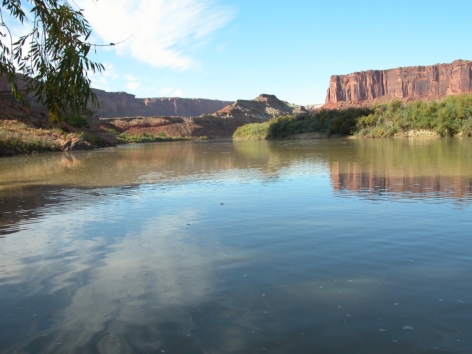
I guess my heart just wasn't in it until today.  And today actually was a great day.  Labyrinth Canyon (broader, more open, sort of tier-cake-shaped) turned into Stillwater Canyon (narrower, V-shaped).

How did anyone even get up there?  This cliff dwelling was a stone's throw from our campsite.
You can barely see where the dwelling is tucked into the cliffside here.

Around lunchtime, I joined Jim and Terri at Turk's Head (though we couldn't figure out how it might have gotten its name) for a hike to find some cliff dwelling ruins.  I saw a cairn on a ledge and climbed up to see what might be up there.  My observance was rewarded when I saw a small dwelling in a nook above me.

Turk's Head

After climbing up to check it out and then back down, I ran into T&J again and they told me to follow the trail a little further to find some more ruins.  Sure enough, there were three in close proximity so I climbed up to check them out as well.  All were so tiny and shallow I had to wonder if they were really used as homes.  A single person couldn't stretch out to sleep on the floors of most. [I later learned that these probably served as grain storage rather than homes.]  Greg and Stephanie and Rod and Cathy both showed up as we were on our way back out.  The latter couples, though they launched the same day, have an extra day before their scheduled pick-up.


T&J told me they planned to get as far as mile ten today, which is about what I was aiming for, and we ended up approaching Jasper Canyon at about the same time.  We're camped out on a sand bar in the middle of the river just across from Jasper because the mouth offered no real promise for campsites.  There are ruins in the canyon and we'd paddled over 17 miles today so none of use wanted to go any further.  The sand bar is nice, though, and we had another fire after dinner.  Tomorrow I may just skip looking for the ruins and try to get out as early as possible.  Though it's only about 9.5 miles to the confluence where the Green River meets up with the Colorado on its way to Lake Powell and the Grand Canyon, I want to have plenty of time to hike into Shot Canyon and then be done with paddling by the end of the day.  From here it's about 13 miles to Spanish Bottom, where there's a great hike to The Dollhouse formations and Beehive Arch.  I'd like to fit that one in on the last day before the jetboat arrives to pick us up.

Sunday, April 1, 2012

10/21 Day 7


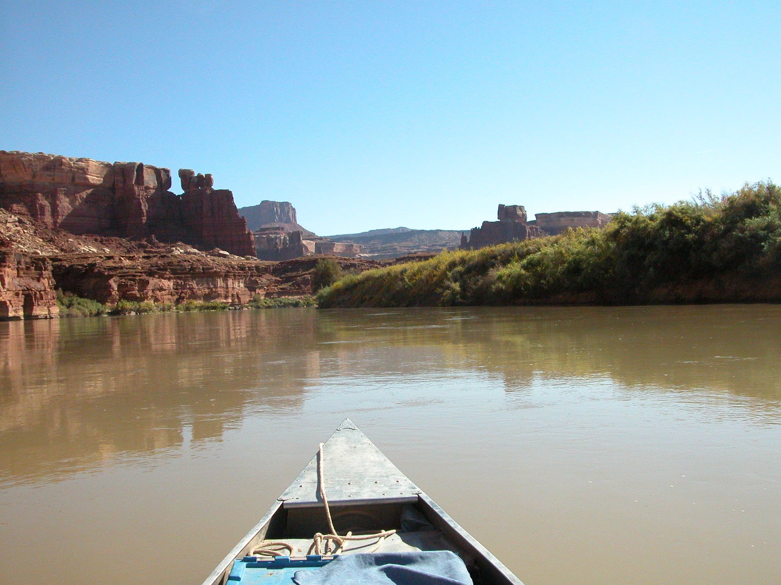
Launch Day!  I woke up good and early, loaded up the car, picked up some breakfast tacos from Eddie McStiff's (so good! and so full of veggies! and so cheap!), dropped some post cards at the post office, and arrived early at Tex's.  Pretty much everything went really smoothly right up to the launch, and Mike, the shuttle driver, was full of information about the river, various techniques, hikes, things to see, etc.  He was also very reassuring to me when I told him I'd never done a float trip or soloed for so long.


Shortly after I launched, I started feeling pretty excited to be on my way on the river, heading toward Canyonlands.  However, it didn't last, and I found myself thinking once again that maybe a month alone and away from home was way too much for me and maybe I should go home early.  So much had happened in the first week that maybe three more just weren't necessary.

Upheaval Dome, an eroded meteorite impact crater.  http://en.wikipedia.org/wiki/Upheaval_Dome
I stopped at around 3:30 to make camp and hike to a watchtower ruins after 11 miles of paddling.  I mentioned my concerns to Rod and Cathy, a couple from Ohio who had also launched that day and planned to camp on the beach below the ruins.  Rod does a lot of solo trips and told me that mine were completely normal thoughts for one's first time out. 

One of the views from my afternoon hike.  The beginnings of our campsites are barely visible on the strip of sandbar below.
View in the opposite direction.  The river rounds a curve just beyond our campsite and leads to this surprising near-90º L-bend.
After hiking (tiny desert flowers! tiny fast lizards!) and making camp, I sat with Rod and Cathy, as well as Terri and Jim, a couple from CO, around a fire Rod had started in their fire pan.  It was really nice having a fire and people to talk to.

Navajo/Diné watchtower ruins

Thursday, November 24, 2011

10/20 Day 6

Today was primarily a day to travel and prepare for the float trip, but I'm still so amazed by Monument Valley.  I'm also even more pleased than usual at my decision to shell out for a mesh-bodied tent.  I'd wake up in the night and turn my head to see the Mittens silhouetted by the starry sky.  I woke before dawn to see the colors of the sunrise warming the horizon so I got up to take photos.  I'm not sure whether the sunrise or sunset was prettier, but I loved them both.

Taken from the doorway of my tent.  Heck yes.
After breakfast, I hiked the 3.2 mile loop around the West Mitten.  Down on the valley floor, I was able to get some great views of even more of the monuments.  At one point, stopped in my tracks because the air smelled so sweet.  I turned and realized that shrubs full of yellow blooms were giving off the fragrance.  It was a lovely scent and a nice thing to suddenly notice.

East Mitten Butte, framed by a juniper

The "back" of West Mitten Butte


After that, it was on to Moab.  I would have liked to make a side trip to Natural Bridges Nat'l. Monument but I was tired and it was too far out of the way.  The hike to see all three is an all-day one and I figure if you're going to do something, do it right.  And this is especially true of viewing natural bridges.  Besides, I really wanted a shower and a nap if I had the time.  Oddly enough, shortly after I arrived at the hostel, Stefan pulled into the parking lot as I was unloading my car.  I wanted to ask where he'd been since Kanab, but I was so busy getting ready I never got the chance.  I never got that nap, either.

I'm SO nervous about this canoe trip and I know I shouldn't be.  I'm really tired and I feel like I could use a bit of a break from all the natural grandeur before throwing myself into my longest backcountry trip so far, my longest solo trip, and my first float trip.  It's just so much and I'm kind of afraid I won't enjoy it as much as I feel I should.  I've so looked forward to Canyonlands; I just hope I find all that anticipation worthwhile.